Key points
Data sources
ArcGIS 9.3
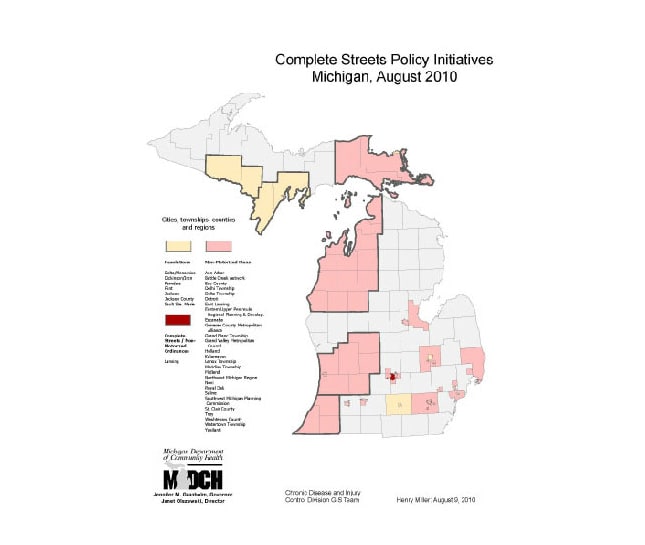
Complete Streets project data.
Use GIS layers for state counties, townships, cities to display geographic reach of policy initiatives.
Henry L Miller, Departmental Specialist, Michigan Department of Community Health
(517) 335-8779
millerhenry@michigan.gov
Complete Streets Policy Initiatives Michigan, August 2010 Miller, Henry; Michigan Department of Community Health. Accessed from the Centers for Disease Control and Prevention's Chronic Disease Map Gallery.

