Key points
Data sources
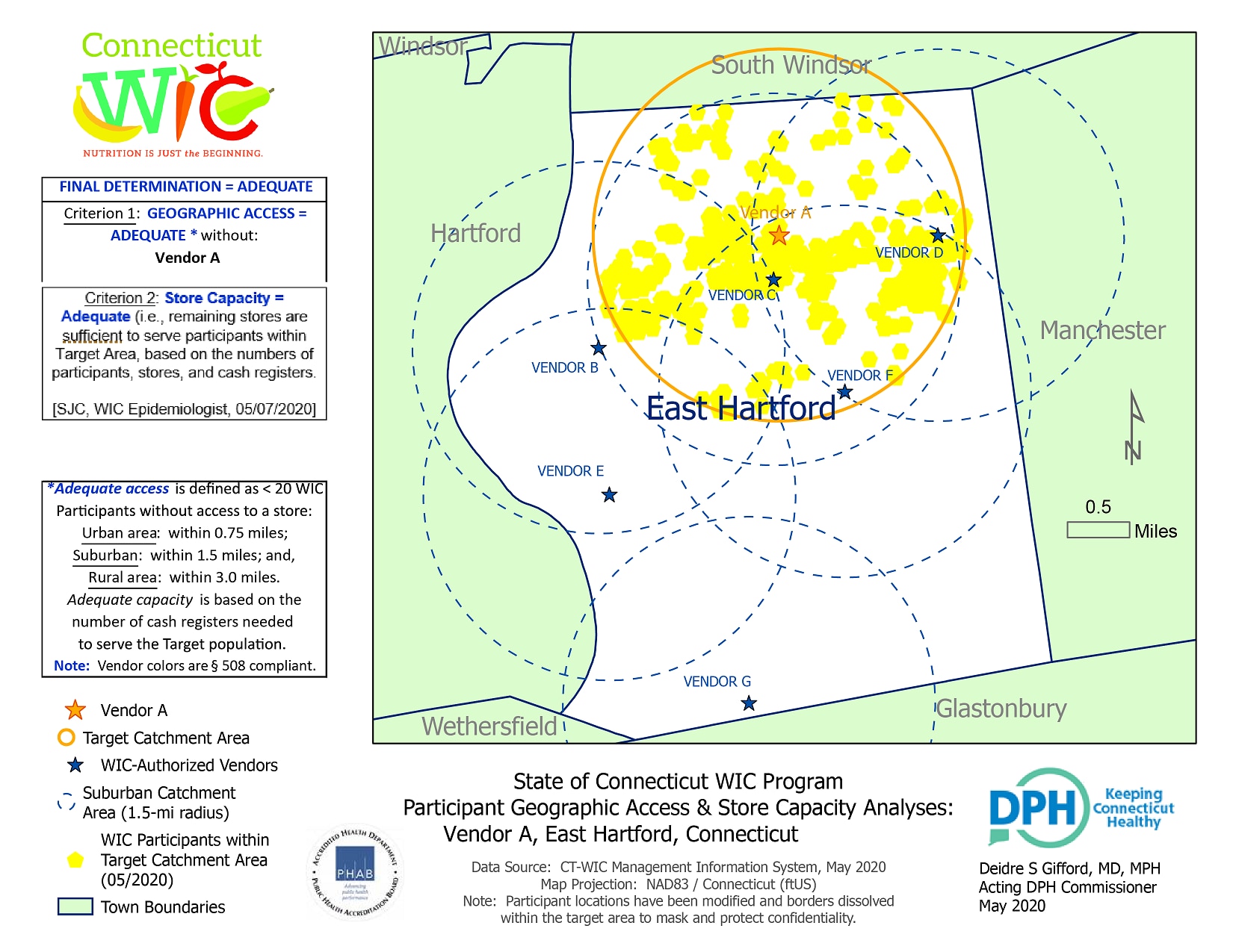
A final determination of “adequate” on these Access and Capacity Maps is interpreted to mean that the target catchment area has sufficient resources to meet the needs of the WIC population within its boundaries, and that the target store may be removed from the State’s WIC-Authorized Vendor List without jeopardizing compliance with the Program’s requirements or the needs of the local WIC population to access their WIC benefits. If these conditions are not met, a civil money penalty may be levied in lieu of termination.
ArcGIS Pro 2.5.0
- CT-WIC MIS (Management Information System): WIC Participants & Authorized Vendors, 05/2020
- shp (state/town shapefile), 02/2020
- Latest Census data by ZIP code
- Geocoding: WIC Participants & WIC-Authorized Vendors. Participant addresses, once geocoded, are modified, buffered and their borders dissolved to mask and protect client confidentiality. In addition, maps are exported with no Geographic Reference, and the map's City Streets layer and other landmarks are omitted, further masking participant locations.
- Population density: by ZIP code is determined from the latest Census figures, and classified as Rural (1- 1,500 pop/sq mi), Suburban (1,501 – 3,000 pop/sq mi), and Urban (3,001+ population/sq mi) environments, with corresponding vendor Catchment Areas of 0.75-, 1.5- and 3.0-mile radii, respectively.
- Buffer: used to delineate the above geographic environments and define the map's Target Catchment Area, corresponding to the store under evaluation;
- Clip tool: employed to determine the number, and other characteristics, of WIC Participants and Authorized Stores within the defined Target Catchment Area.
- The map's vendor colors were selected to ensure 508 compliance.
An Access & Capacity map is prepared prior to a grocer no longer participating in the WIC program, allowing vendor staff to ensure sufficient coverage of the local WIC population should that grocer leave the program.
Susan J Hewes, MPH, Epidemiologist, Connecticut Department of Public Health
susan.hewes@ct.gov
(860) 423-4229
Hewes, Susan, MPH; Connecticut Department of Public Health. Accessed from the Centers for Disease Control and Prevention's Chronic Disease Map Gallery.

