Key points

Quick Build Notes
- Select United States HHS Regions map as the Visualization Type.
- Upload your data.
- Type in the title and other text fields in the General panel.
- Select the Geography column.
- Select the Data Column.
Configuration Options
The example visualizations below highlight options available for HHS Region maps. Key configuration selections are in the build notes section under each example.
Don't forget to check out the General Map page for additional map guidance.
For in-depth configuration information visit the Configuration Options section.
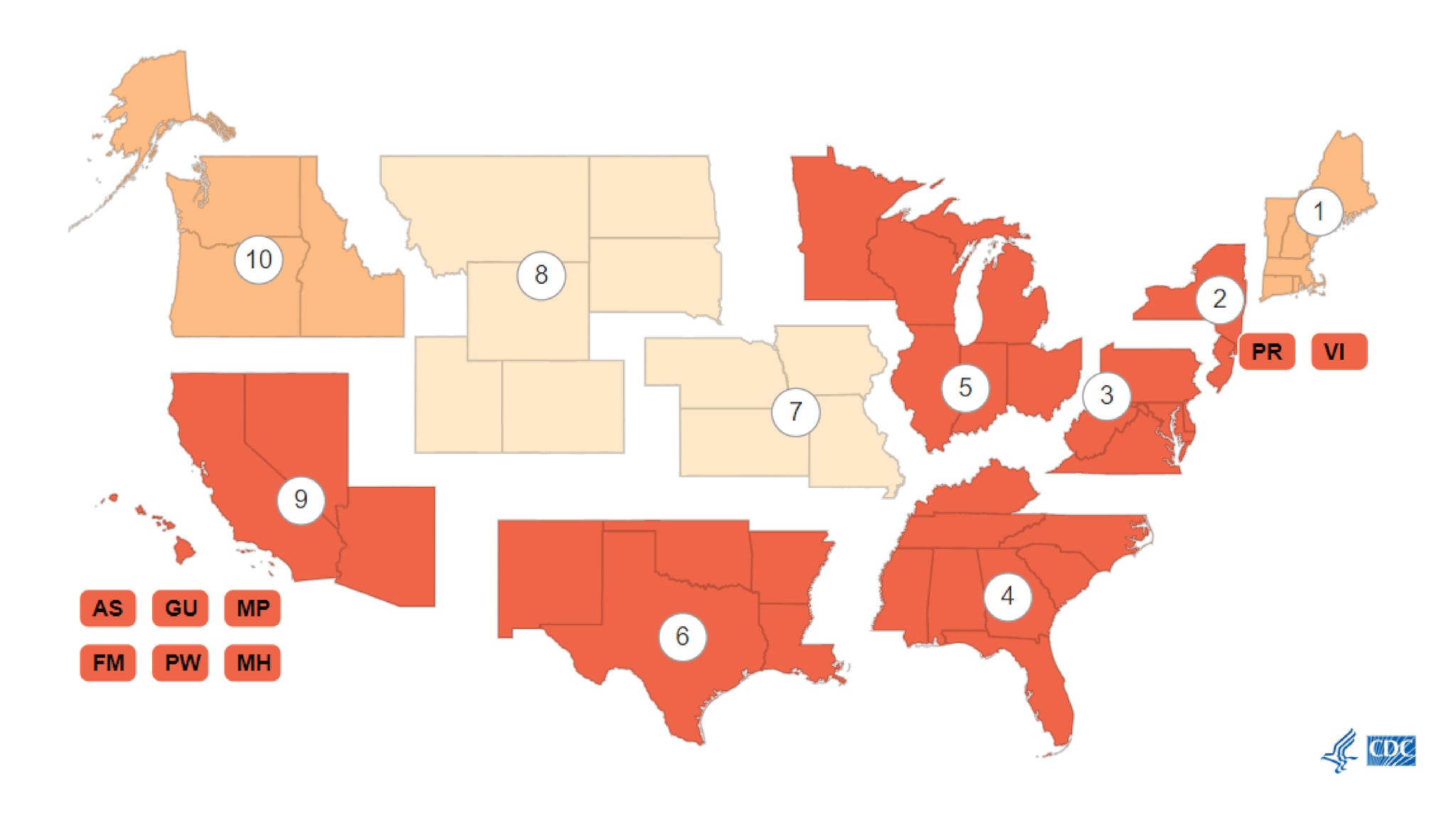
Example HHS Region Map
This example is a categorical map.
Sample Data: Example Regional Data
- Vertical
- Multiple Series: No
- U.S. Region
- Data Classification Type: Categorical
- Geography: Location
- Data Column: Cumulative Test Group
- Add Column - Column: Total Tests, Label: Total Tests, Show in Tooltips
