What to know

Overview

Summary
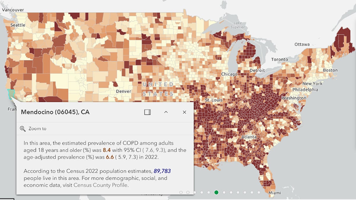
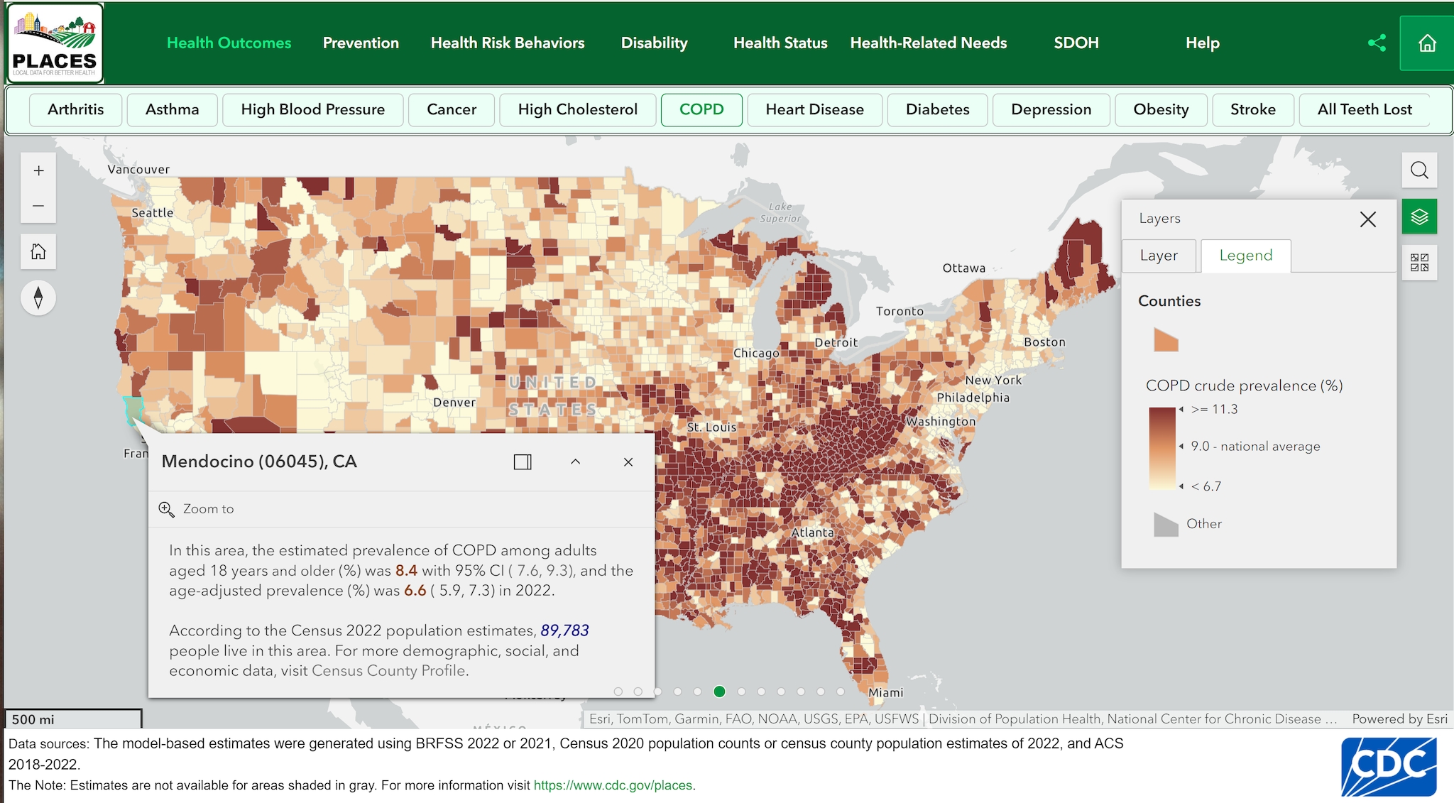
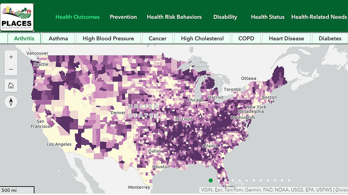
The interactive mapping application allows users to view and analyze health outcomes, prevention measures, health risk behaviors, disabilities, health status, health-related social needs, and social determinants of health at the county, place, census tract, and ZCTA levels. It includes data on a wide range of topics such as obesity, smoking, health insurance coverage, physical inactivity, and sleep among others. The map defaults to the health outcome category measure arthritis. Users can change the category and measures. Users will see a county map first, and when they zoom in, census tract, ZCTA, place data will show. Users can turn on/off the data for geographic levels (layer).
Intended Users
The intended users of the PLACES Interactive Map are diverse and include:
- Public Health Officials and Policymakers: To help them allocate resources, plan interventions, and set priorities based on the specific health needs of communities.
- Researchers and Academics: To access detailed local health data for studies and analyses.
- Hospitals, Healthcare Providers, Organizations and Systems: To better understand the health profiles of the communities they serve.
- Health Insurance Plans: To better understand the health risks, conditions and prevention practices of the communities they serve.
- Community and Rural Health Agencies: To identify and address the unique health, social and resource needs of rural communities.
- Emergency Preparedness and Response Officials: To understand and anticipate the particular needs of communities affected by an emergency or disaster.
- National non-governmental and community-based organizations: To better understand prevention practices and health behaviors of the communities they serve for development of targeted interventions.
- General Public: To allow individuals to learn more about the health statistics of their own communities or others.
This tool is particularly valuable for tailoring public health strategies to the unique needs of different communities, thereby supporting targeted interventions aimed at improving health outcomes across the country.

