Module 4: Land Use Planning

At a glance

This module helps users to assess the plans, policies, and resources that specify and determine development and future land use. For example, this may include mixed land use, proximity to destinations, and residential density.
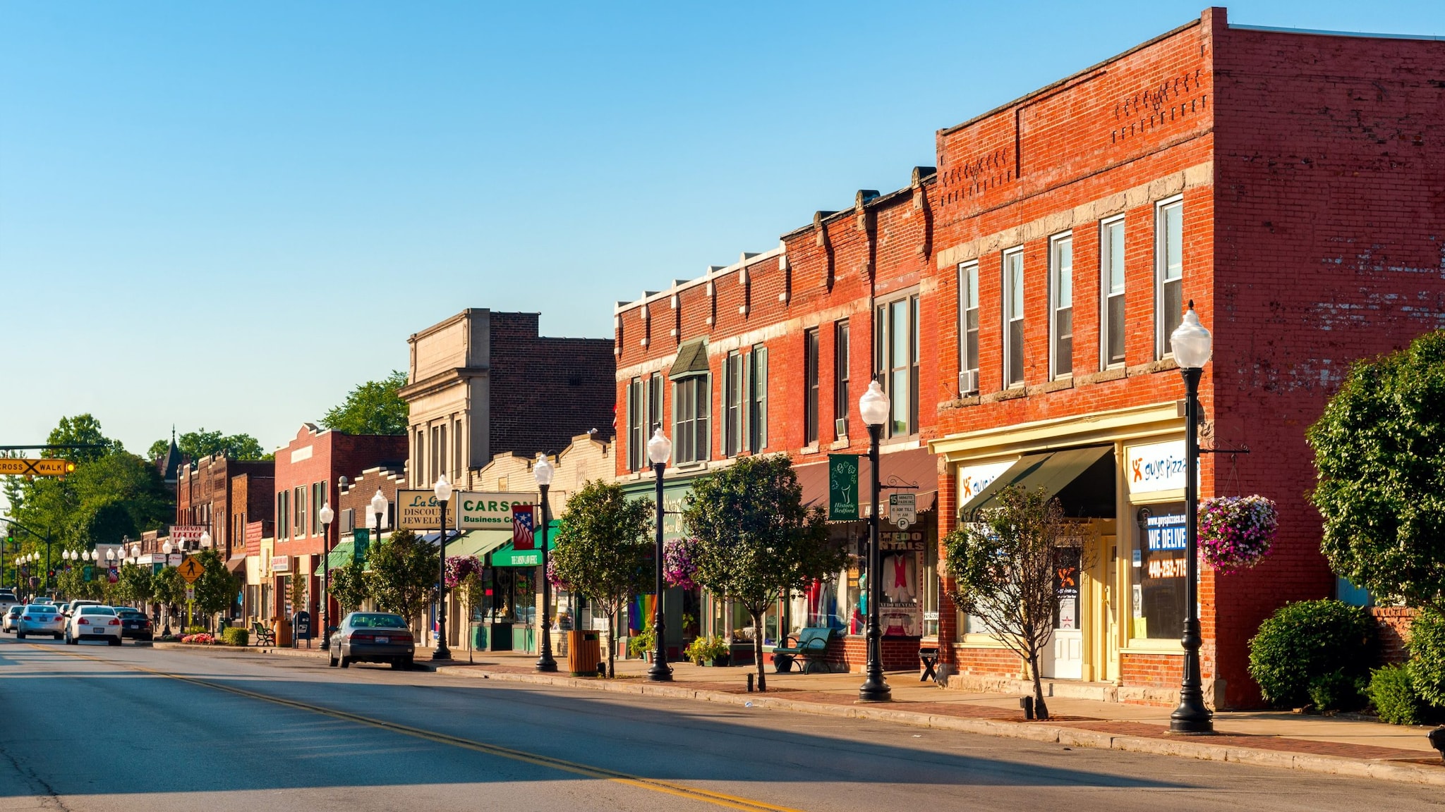
Main street in rural town.

About this module

Who should be involved: Technical experts with knowledge of the community's planning, transportation, and engineering plans, policies, and processes. For example, experts will have knowledge of comprehensive/master plans, subdivision regulations, and zoning codes. Specifically include:

  • Land use experts.
  • Transportation planning experts.
  • Engineers.

Time to complete: It will take approximately 60 minutes to complete Module 4.

Terms and definitions

Cluster housing: A development in which homes are grouped relatively close together, with larger areas of open space forming a buffer between the development and adjacent land uses.

Comprehensive plan: An official statement adopted by a local governing body. This statement sets forth (in words, maps, illustrations, and/or tables) goals, policies, and guidelines intended to direct the present and future physical, social, and economic development that occurs within its planning jurisdiction and that includes a unified physical design for the public and private development of land.

Crime Prevention Through Environmental Design: An approach to reducing crime by altering elements of the built environment. This ranges from the small-scale to the overarching, including the building form of an entire urban neighborhood and the opportunity for "eyes on the street."

Density bonuses: Allowances for developers to increase housing density that will help communities achieve walkability, bikeability, transit, and/or affordable housing goals.

Empowerment zones: Federally-designated highly distressed urban and rural communities that may be eligible for a combination of grants, tax credits for businesses, bonding authority, and other benefits.

Form-based or design-based codes: Codes that emphasize physical form rather than separation of uses as the organizing principle, with a lesser focus on single-use land development. This may include form-based overlay codes.

Greyfield redevelopment: Redevelopment and adaptive reuse of existing development that takes advantage of existing infrastructure. This reduces overall development costs in economically declining, outdated, failing, inactive, or underused real estate assets or land. This may include older retail malls or strip centers that no longer attract adequate investment or tenants.

Growth Management Plan: A plan that sets forth the long-term goals and objectives of a locality related to growth and development. This plan influences how growth occurs. It usually addresses density, availability of land, mixture of uses, and timing of development.

Health disparities: Particular types of health differences closely linked with social, economic, and/or environmental disadvantage. Health disparities adversely affect groups of people who have systematically experienced greater obstacles to health and/or clean environments based on their:

  • Racial or ethnic group
  • Religion
  • Socioeconomic status
  • Gender
  • Age
  • Mental health
  • Cognitive, sensory, or physical disability
  • Sexual orientation or gender identity
  • Geographic location
  • Other characteristics historically linked to discrimination or exclusion

Health equity: When everyone has the opportunity to be as healthy as possible.

Inclusionary zoning: An affordable housing tool that links the production of affordable housing to the production of market-rate housing. These policies either require or encourage new residential developments to make a certain percentage of the housing units affordable to low- or moderate-income residents.

Infill: Redevelopment that optimizes prior infrastructure investments and consumes less land than what is available. This refers to the development of vacant parcels within previously built areas already served by public infrastructure.

Live-work zones: Zones in which residents can operate businesses on the ground floor of the building where they live.

Land use plan: A plan that regulates the use of land, specifically the occupation or use of land or water area for any human activity or purpose.

Microunit: A small studio apartment, typically less than 350 square feet, with a fully functioning and accessible (ADA compliant) kitchen and bathroom.

Mixed use: Development that blends residential, commercial, cultural, institutional, or entertainment uses, where those functions are physically and functionally integrated. Mixed use developments also provide pedestrian and bicycle connections.

Nodes: Places where people congregate and where transportation routes converge or intersect.

Pedestrian-oriented district: A distinct designation that preserves and encourages the pedestrian character of commercial areas and promotes street life (work, commerce, leisure, and social activities). It does so by regulating building orientation and design, regulating accessory parking facilities, and focusing on pedestrian-friendly uses.

Planned-unit development: A type of building development of both varied and compatible land uses all within one contained development or subdivision. Land uses may include things like housing, recreation, commercial centers, and industrial parks.

Promise zones: Federally designated high-poverty communities where the federal government partners with local leaders to:

  • Increase economic activity.
  • Improve educational opportunities.
  • Leverage private investment.
  • Reduce violent crime.
  • Enhance public health.
  • Address other priorities identified by the community.

Single room occupancy units: Usually a 160-square-foot unit that relies on shared communal kitchen or bathroom facilities.

Special improvement districts: An area of land within which property owners pay an additional tax or fee designated for specific services or improvements within the district's boundaries.

Tax-increment financing: A public financing method used to subsidize redevelopment, infrastructure, and other community improvement projects within a defined area or district. Tax-increment financing goes toward economic development or public improvement project(s).

Traditional neighborhood development: A development that includes a variety of housing types, a mixture of land uses, an activity center, a walkable and bikeable design, and often a transit option within a compact neighborhood scale.

Transit-oriented development: A type of urban development that maximizes the amount of residential, business, and leisure space within walking distance of public transportation.

Urban growth boundary: A land use planning border that controls urban expansion into farm and forest land.

Urban-to-rural transect: A zoning system that replaces conventional separated-use zoning. Transect zones provide the basis for walkable streets, mixed use, transportation options, and housing diversity.