Module 1: Street Design and Connectivity

At a glance

This module helps users assess the plans, policies, and resources used to design the physical roadway network in a community. This might include regulations or zoning codes, street connectivity, and plans for existing and future streets constructed by the community and through future development.
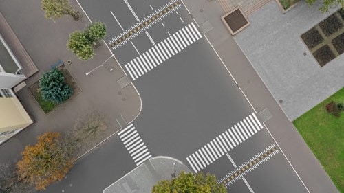
Overhead view of intersection.

About this module

Who should be involved: Experts with knowledge of the community's zoning policies, zoning codes, and subdivision regulations. This includes experts in:

  • Planning.
  • Transportation.
  • Public works.

Time to complete: It will take about 30 minutes to complete Module 1.

Terms and definitions

Arterial roads: High-capacity roads that mainly deliver traffic from collector roads to freeways/expressways and between urban centers.

Collector roads: Roads that gather traffic from local roads and deliver traffic to arterial roads.

Comprehensive plan: An official statement adopted by a local governing body. This statement sets forth (in words, maps, illustrations, and/or tables) goals, policies, and guidelines intended to direct the present and future physical, social, and economic development that occurs within its planning jurisdiction and that includes a unified physical design for the public and private development of land.

High-stress and low-stress: When referring to streets, the level of stress the street segment imposes on cyclists. The classification is based on traffic characteristics such as road width, traffic speed, the presence of a parking lane, and whether bikes are in mixed traffic, in bike lanes, or on segregated paths.

Local ordinances: Policies passed by local governing authorities, such as a city council or board of commissioners. Local ordinances can include zoning regulations, subdivision ordinances, and street design guidelines.

Major and collector street plan: A comprehensive plan and implementation tool to guide public and private investments in the major streets (arterial roads and collector roads) that make up the backbone of the city's transportation system.

Performance measures for connectivity: Quantitative metrics used to evaluate active transportation projects or the transportation system. Examples include percent of network constructed, intersection density, or facility miles.

Shared-use paths: Transportation or recreation paths that include paved or unpaved accommodations for both pedestrians and bicyclists.

Street connectivity: The directness of links and the density of connections in a street network. A well-connected network has many short links, numerous intersections, and minimal dead ends.